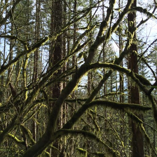
- Rattlesnake Ridge, known as daʔšədabš to the Snoqualmie people, is the ridge of Rattlesnake Mountain located south of North Bend, Washington, United States. The western end is near the intersection of State Route 18 and I-90 in Snoqualmie, Washington, and runs southeast about 7 miles (11 km) or 11 miles (18 km) by trail. It is the highest and easternmost of the Issaquah Alps (although Cedar Butte in the gap between Rattlesnake Mountain and the Cascade front at Mount Washington is considered by Harvey Manning to be a quasi-Alp). A maze of abandoned logging roads and constructed trails have been strung together to provide a 10.5-mile (16.9 km) footpath from the Snoqualmie Point trailhead at Exit 27 on I-90 all the way to the Rattlesnake Lake trailhead near Exit 32.
- Fort Casey (Wikipedia)
Fort Casey was a 19th-century defensive fortification built on Whidbey Island, Island County, Washington, to deter invasion from the sea. It is preserved as Fort Casey Historical State Park, a Washington state park and historic district within the Ebey’s Landing National Historical Reserve.