https://github.com/davepinch/pinchy.cc/blob/master/content/camera-roll/2023/06/2023-06-21-lotus-corniculatus-on-aurora.md
The headland reaches maximum elevations of approximately 80 meters on the northeastern side near Drayton Harbor. From that point, the topography gently lowers westerly and southwesterly to the 25 and 30 meter high sea cliffs that rim the headland.
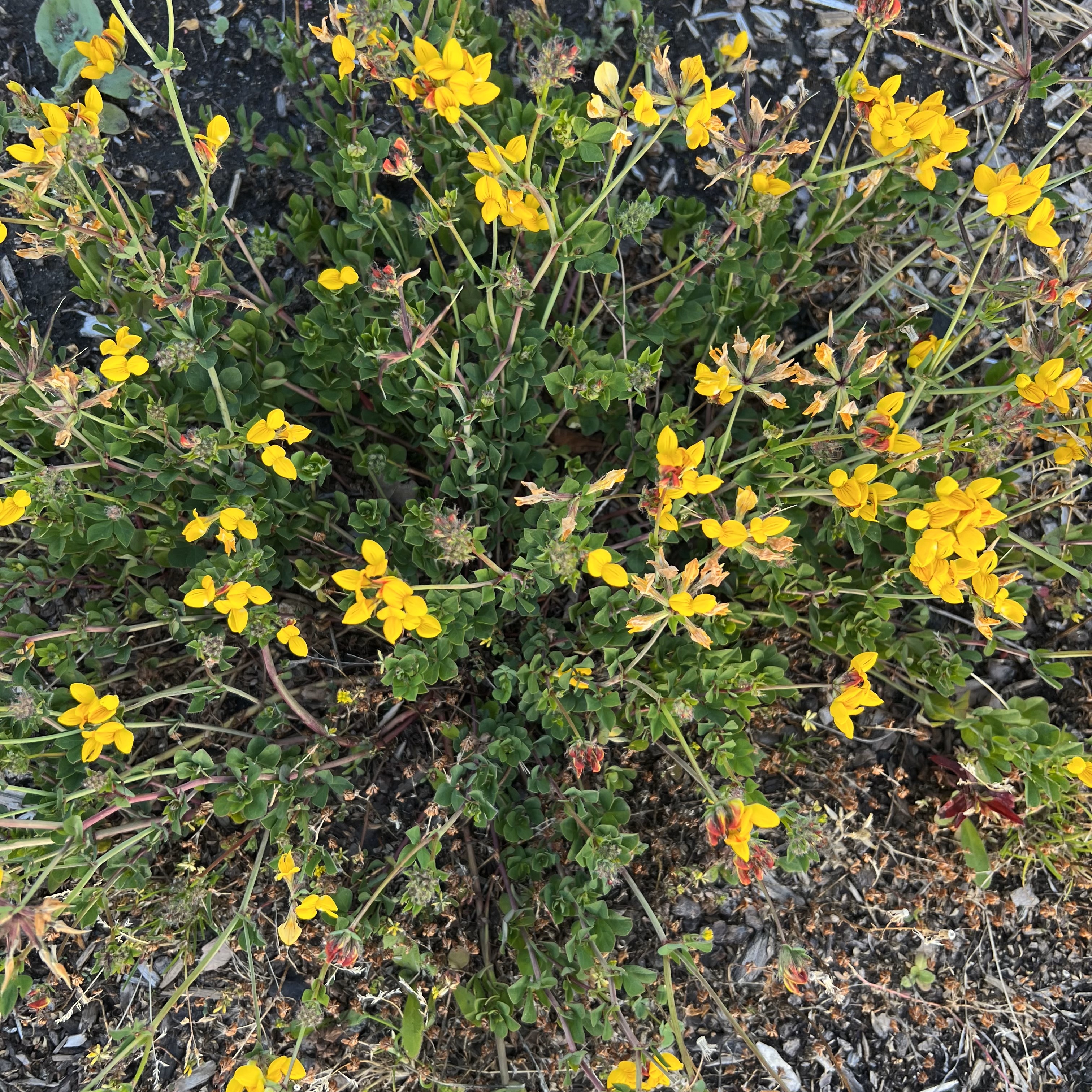
The name ‘bird’s foot’ refers to the appearance of the seed pods on their stalk. Five leaflets are present, but with the central three held conspicuously above the others, hence the use of the name ’trefoil’.