- Jacques Descloitres, MODIS Land Rapid Response Team
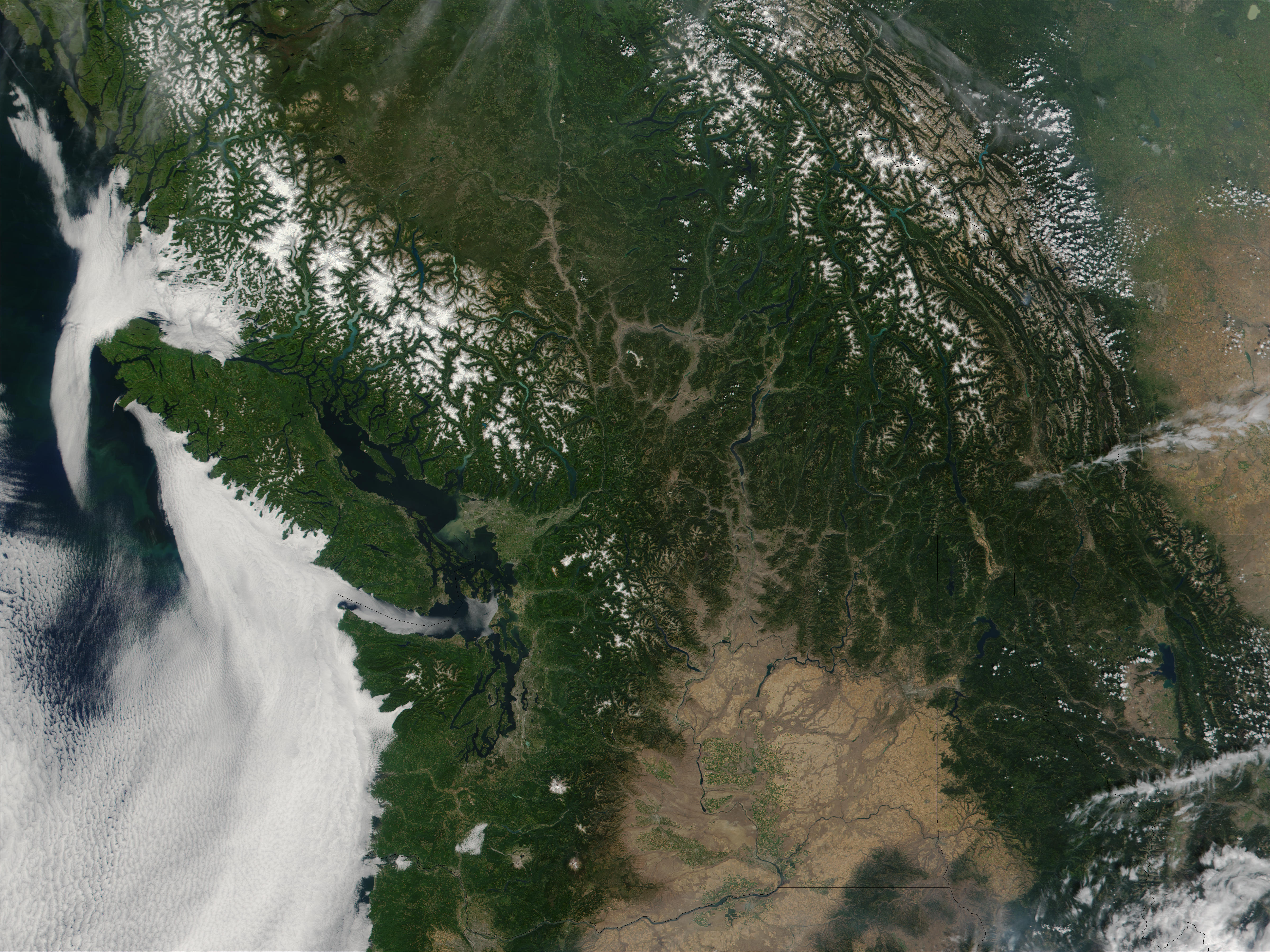
- This true-color MODIS image shows southern British Columbia (upper left) and Washington State. In the left center of the image lies Vancouver Island, which is separated from Washington by the Juan de Fuca Strait. British Columbia’s glacier-capped Coast Mountain Range runs northwest-southeast inland from Vancouver Island. The brownish region to the interior of Washington and Oregon to the south is the Columbia Plateau, cut off from Pacific Ocean moisture by the Cascade Mountain Range, home to Mt. Rainer. Mt. Rainer is the white cluster of pixels to the immediate east-southeast of where Puget Sound dips far south into Washington.
- Trobriand Plate (Wikipedia)
The Trobriand Plate was, and likely is, an independent microplate between New Guinea and the Solomon Islands. It has some unique geology, having the presence of the youngest metamorphic core complexes on earth. If there is presently active subduction between it and the Solomon Plate, at the Trobriand Trough, it continues to be an active microplate. Otherwise in the latest tectonic models it has merged with the Solomon Sea Plate, which becomes somewhat larger than predicted by Bird’s 2003 model of Tectonic Plates. As a smaller Solomon Sea Plate is totally underwater, global positioning data can not resolve this issue. The area of the plate is associated with earthquake and volcanic activity as part of the Pacific Ring of Fire.