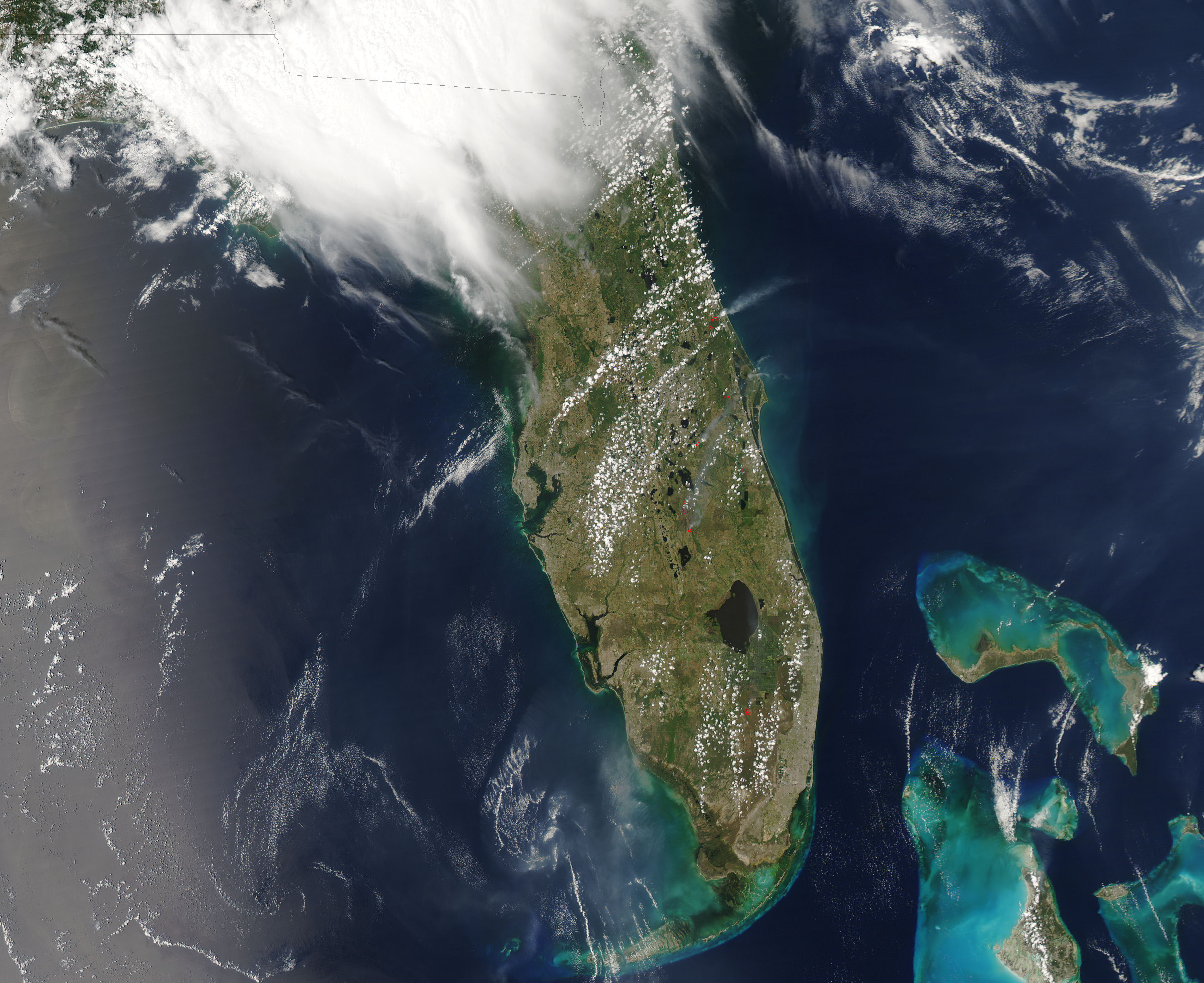
- A number of wildfires burned in Eastern Florida on May 7, 2006, clouding the skies with smoke. At 6,000 acres, the largest of the fires was the Areca Fire burning in Palmetto, pines, and grasses along the Interstate-95 corridor. Smoke from the fires closed roads in the region, including the Interstate, and forced about 1,000 people from their homes, reported CNN. The MODIS on NASA’s Aqua satellite captured this image of the Areca Fire at 2:55 p.m., EDT. The fire itself is outlined in red, and a thick plume of smoke blows east over the Atlantic Ocean. The National Interagency Fire Center said that the Areca Fire was 80 percent contained as of May 8.

